


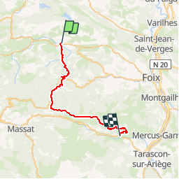

4,4 km | 5,7 km-effort

Usuario


Aplicación GPS de excursión GRATIS
 SityTrail
IGN / Institutos geográficos
SityTrail World
El mundo es suyo
Ruta Caballo de 33 km a descubrir en Occitania, Ariège, La Bastide-de-Sérou. Esta ruta ha sido propuesta por tracegps.
Deuxième étape de la Boucle des Balcons des Pyrénées. D’autres infos ici . Balade proposée par le Bureau des Guides Équestres Transpyrénéens Toutes les randonnées équestres dans les Pyrénées Sans Frontières à Cheval


A pie
Carrera
Bici de montaña
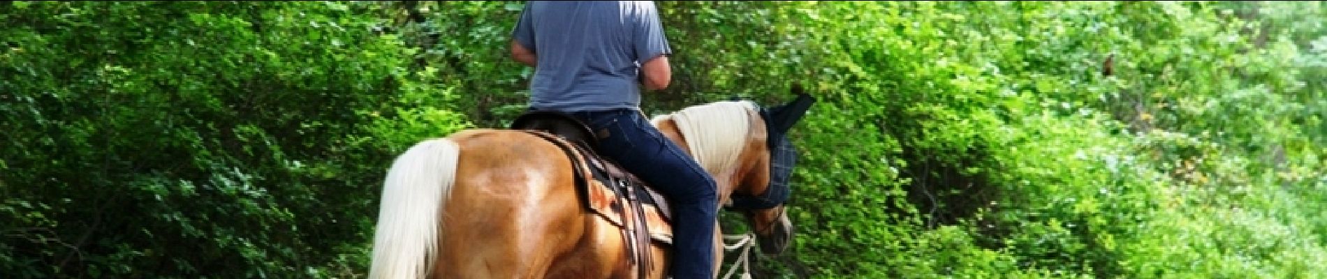
Caballo
Caballo

Senderismo

Carrera
Carrera
Senderismo